Day 10 - Katherine to Kununurra

Through the Gregory Range and along the Victoria River to cross the WA border and enter the Kimberley's.
Quick Stats
- 5 hours on bike
- 519 km
- 4054 km total
Up reasonably early to go for a walk for some coffee. I get about 100 metres down the street till I realise none of the cafes open on Sunday. So I walk back and start packing up.
Succeeding with coffee, I head on out for Gregory and the Victoria River crossing.
About 90 minutes after passing Delamere (I think, I only know cause my map says its there), the flat plains start to give way.

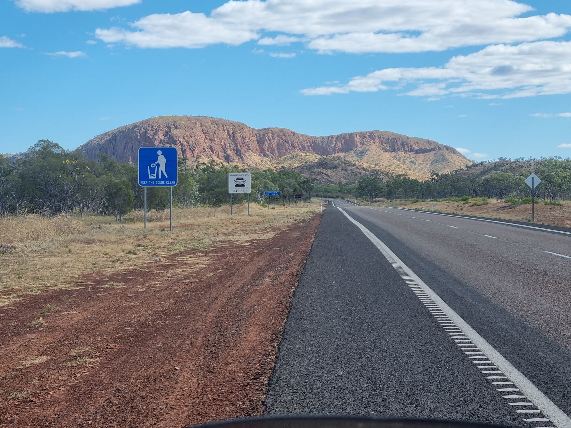
Once again I enjoy the terrain too much to grab any photos, but the Gregory Ranges really are a treat.
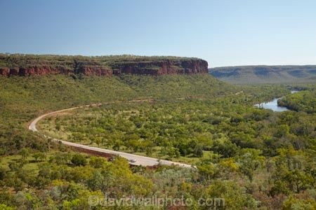
Unbeknownst to me at the time, the crossing over Victoria River at Gregory is far and away the most picture perfect spot of the whole day. I stopped for a minute to take it in, but it was only about an hour further down the road I fully appreciated it. So here's someone elses photo again.
Continuing on I get to Timber Creek. It's a pair of roadhouses with lines of dozens of caravans wanting fuel. An easy skirt around them and I'm at the front of the line. They don't mind, they're sympathetic to the idiot exposing himself to the 35°C weather on a motorbike.
I even start feeling pity for myself at this point, its bloody hot and there's no breeze. So I buy some cold drinks, find a nearby lookout and make a beeline for it.
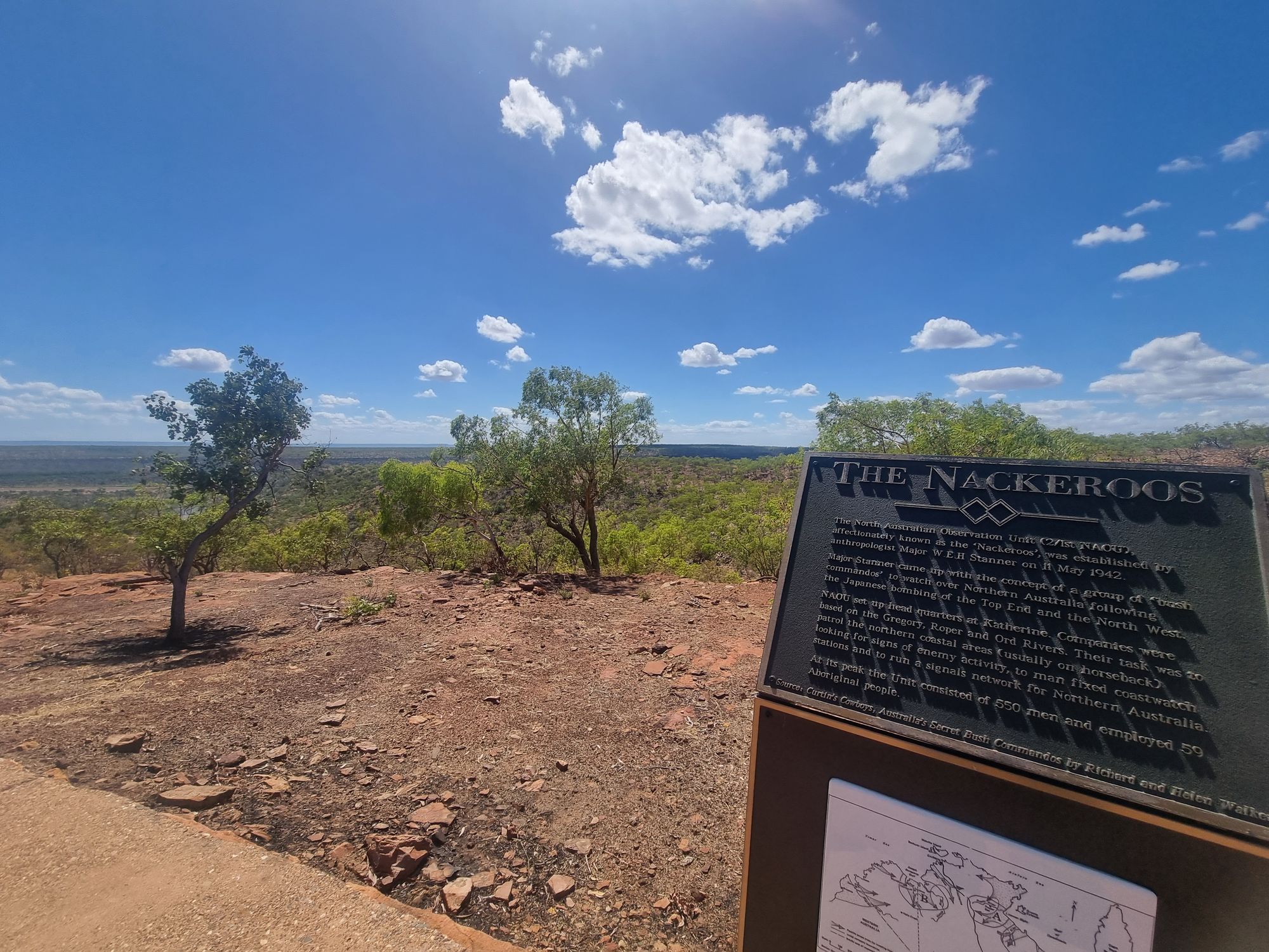
The NAUO, or Nackeroos, were an army regiment established in 1942 to patrol the Top End for signs of invading Japanese troops. They were stationed up here for nearly three years and were too busy just trying to survive the wet season to do much patrolling. Its 'winter' here now, which means no rains, far less insects and no impassible flooded wetlands.

What an absolutely miserable existence.
I didn't expect a history lesson on my trip to a lookout, nor to be so humbled. Bugger. Nice breeze though.

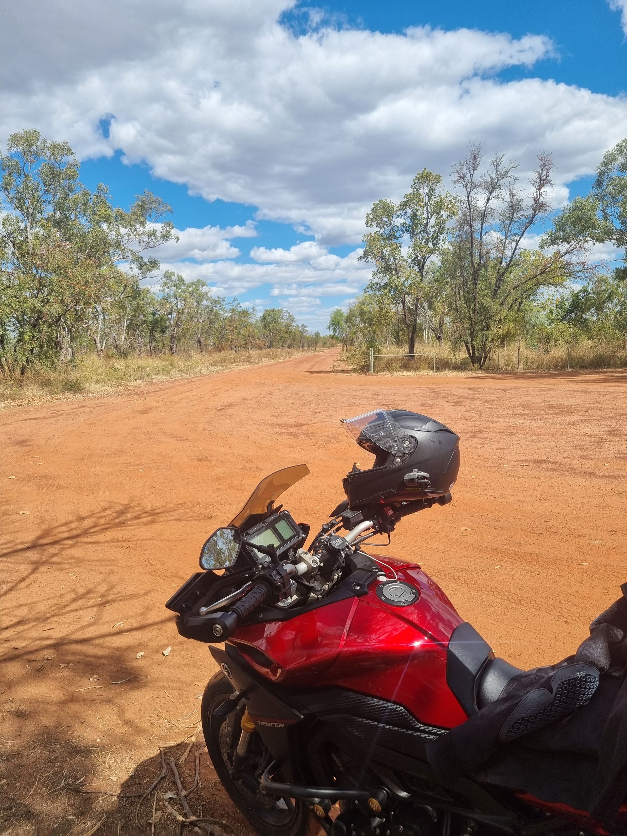
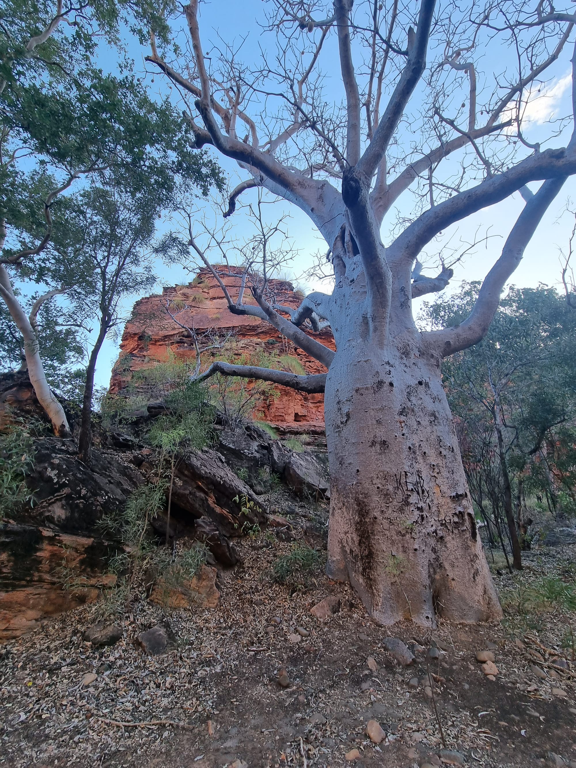
Back on the bike to the next tourist stop, I shoot 10 ks down the highway to checkout Gregory's Tree. Easier said than done, its a 5 km detour down a sandy and corrugated track where I'm reminded of the limitations of my 'sport tourer'.
Augustus Gregory was an explorer who set sail from Moreton Bay to the top of Australia in 1855 to return on foot and chart the Top End and the Australian interior looking for Paradise for his sponsors (or pastureland at least). The boat was wrecked and he attempted to harvest timber to repair it here (hence the name Timber Creek).

The 1856 expedition camp was set up and started from here. A big thing back then (and sadly still now) was rather than leaving a note, you carved the date and exploration details into a tree.
The Boab tree (scientific name Adansonia gregorii named after Gregory) is perfect for this. They're endemic to the Kimberly's and a few other select areas in NT, but otherwise only grow in Africa (should give you an idea of the climate...). They actually lose all their leaves and basically stop growing through the dry season, which is pretty unique for trees up here.
Back to Gregory, he actually had his exploration artist carve the tree, which explains the neat handwriting, and also means we have a legacy of some very cool paintings from the expedition, just have a search for artwork by Thomas Baines.
The expedition set off for Brisbane from July and arrived there in December. Maybe he should have taken a motorbike, I've done it in 9 days.
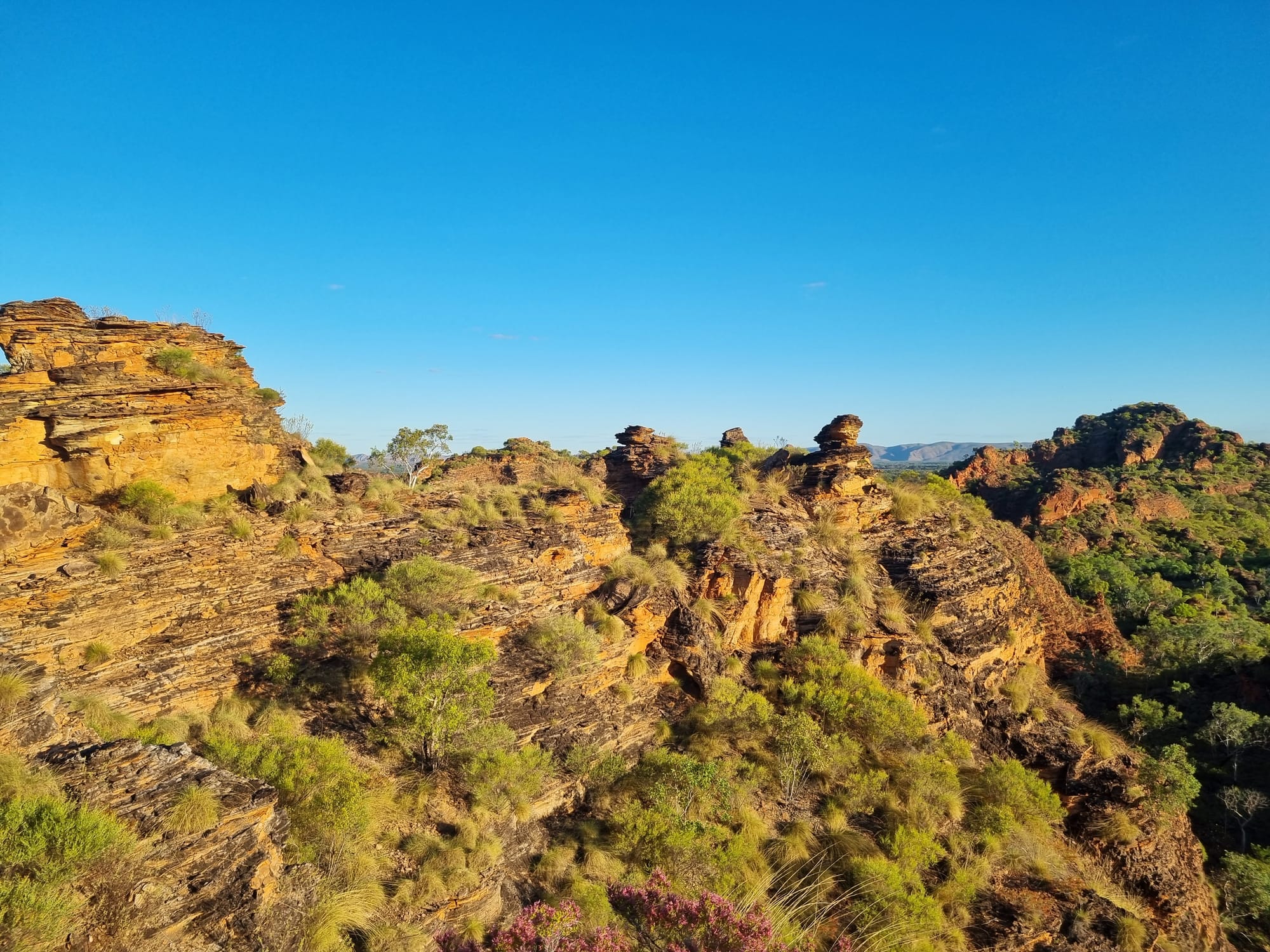
Wolfing down three oranges and an apple (after learning WA has an honest to God border patrol and quarantine station), I'm back on the road. A few amazing rock formations later and I'm at the WA border and passed the Welcome to WA sign (and army regiment seemingly stationed at the border).
I'm asked to open my bags so they can search for fruit and vegetables and then allowed to pass through.
It seems that was the only Welcome to WA sign, and I'm not going back through quarantine again, so this'll have to do.
Its a pretty conflicting welcome between the start of the gorgeous Kimberly's and the security patrols. Anyway onward to Kununurra.
I'm staying at a resort on the lake tonight. I check-in, have a cold shower and head out to explore Mirima NP, also known as Hidden Valley, nearby.
After yesterday's 20 km, I restrict myself to a 6 km jog through the park (along with a bit of offtrack rock climbing to get a better view). The sun is setting fast thanks to those silly timezones, so I jump back on the bike and motor off to go mount Kelly's Knob.
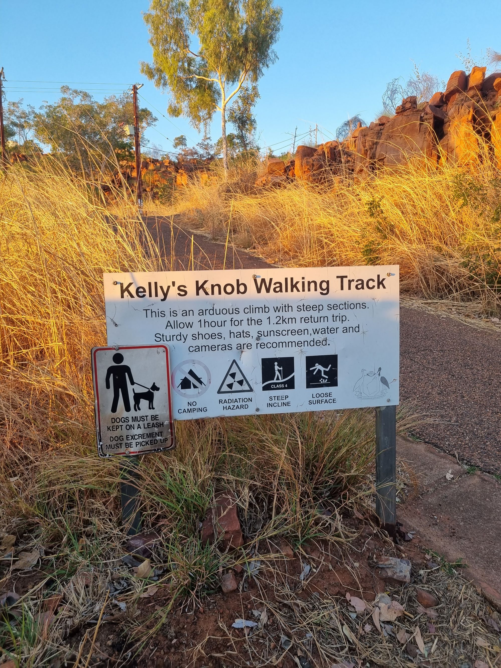
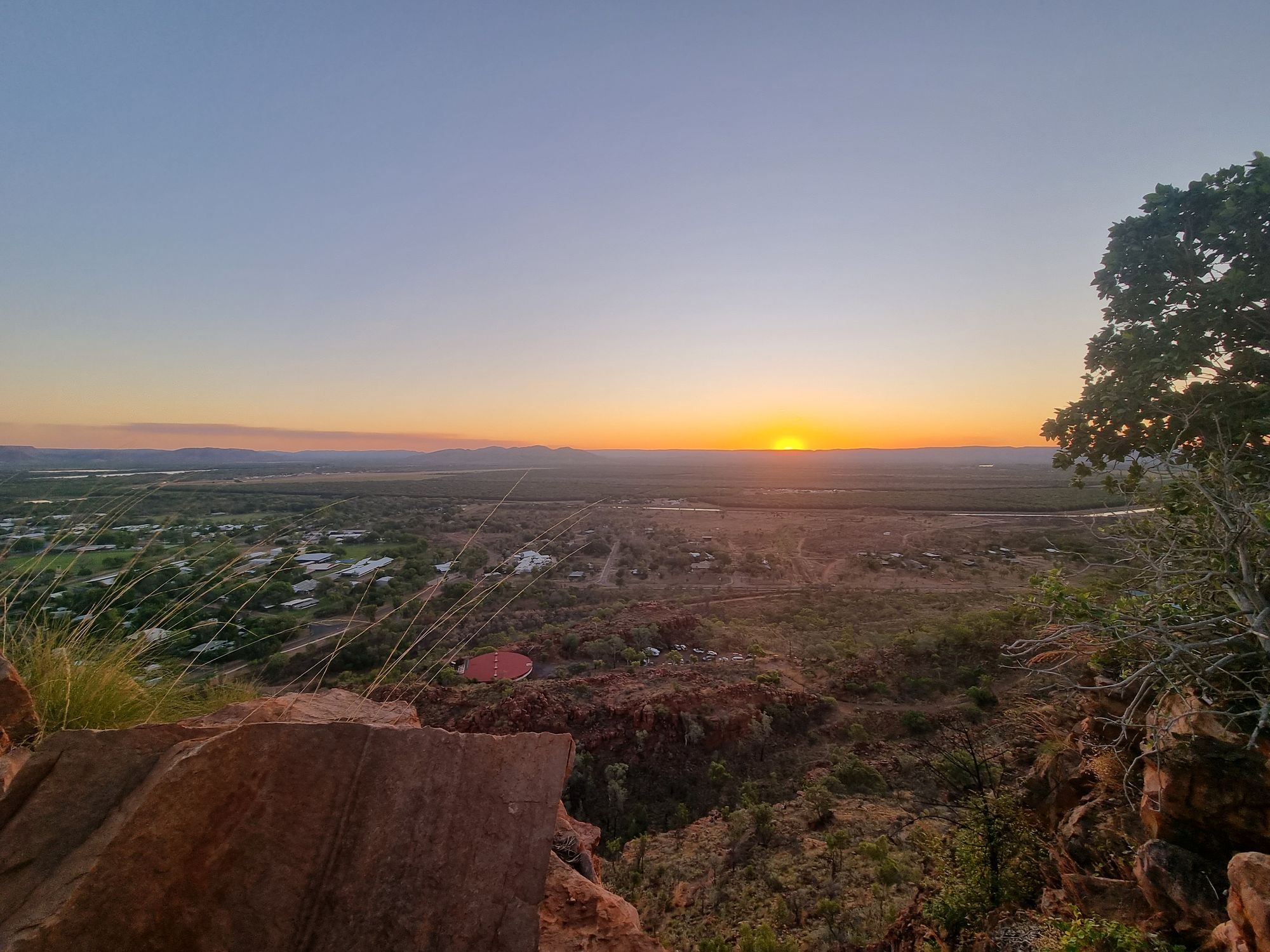
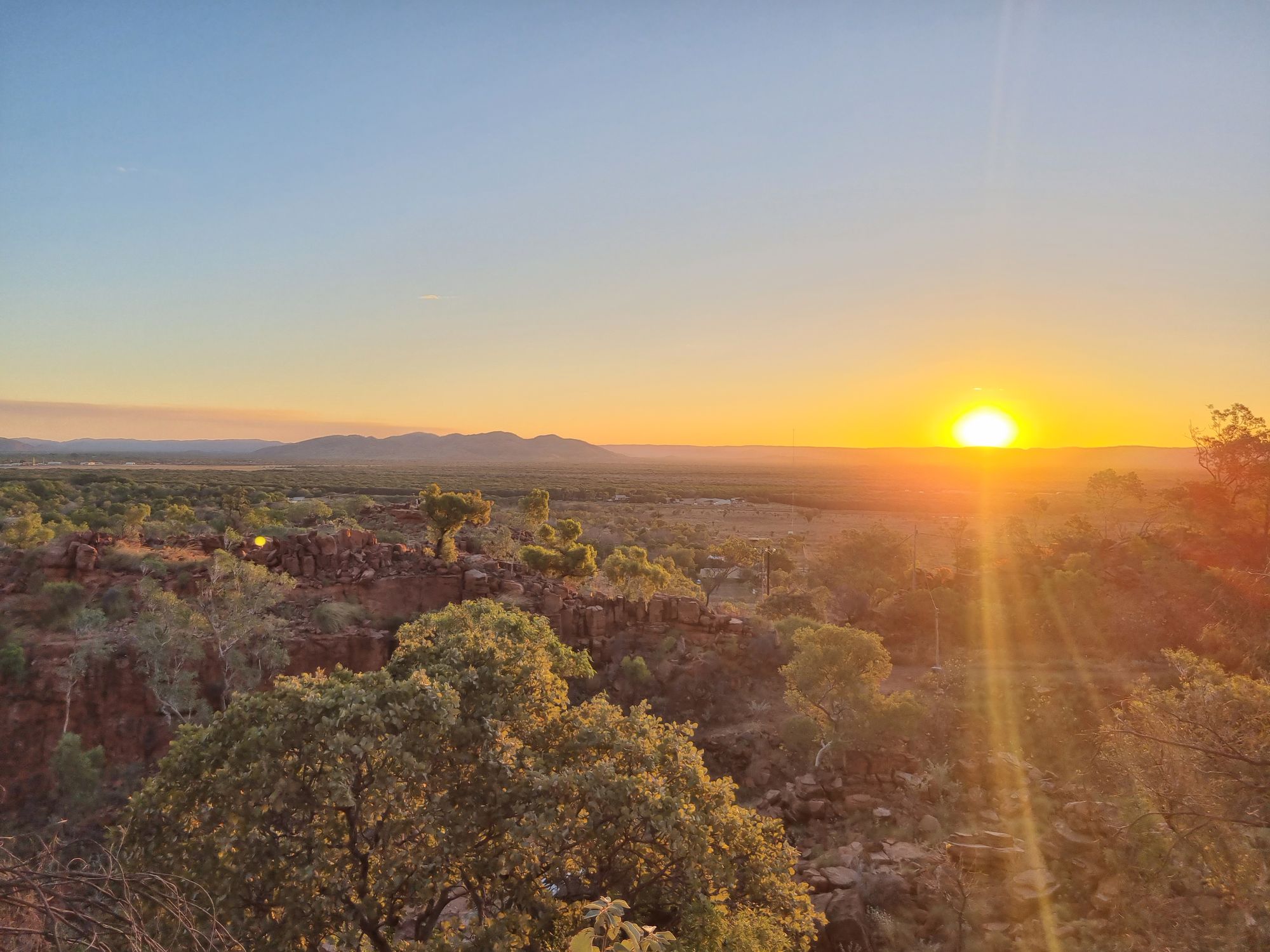
I've got 10 minutes till the 5.15 pm sunset and its a fair climb.

Made it just in time, I sit back and watch the sunset over a pretty magical part of Australia.

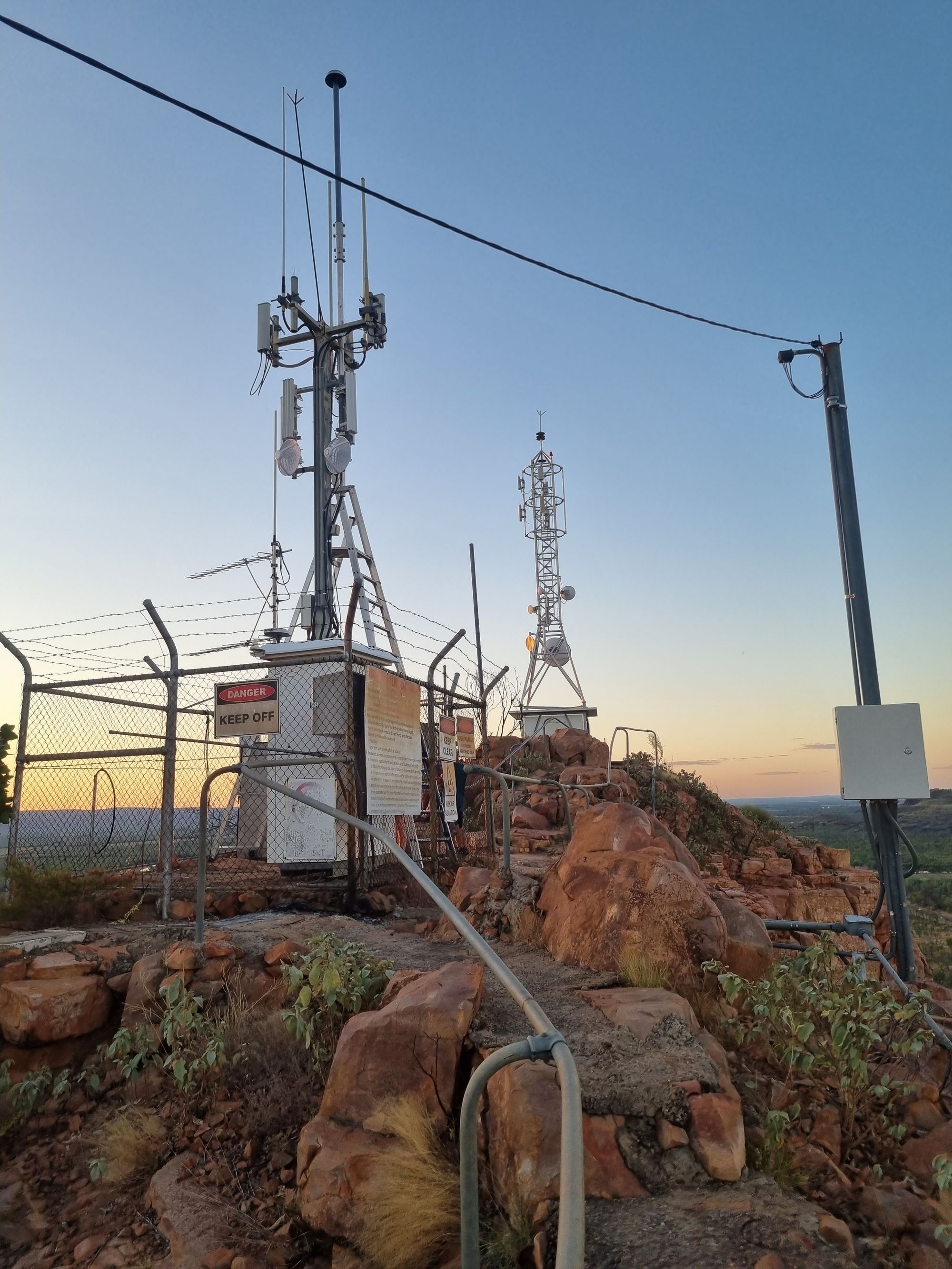
Towers for Dave