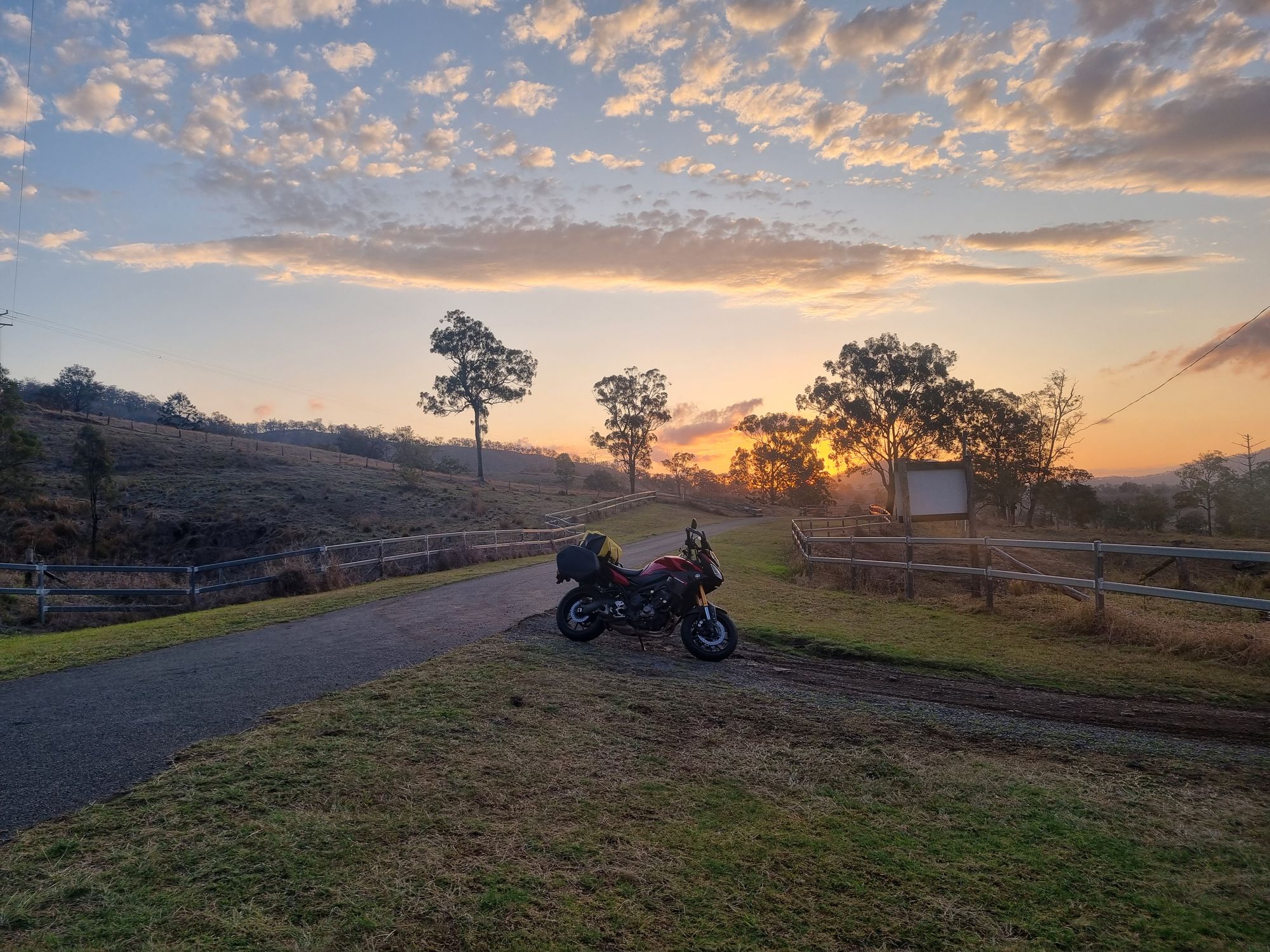
Day 39 - Walgett to Beaudesert

Well it's about time to end this trip. The last two days have been extremely dull, so I'm determined to end it on a high note.
Quick Stats
- 8 hours on bike
- 718 km
- 14764 km total
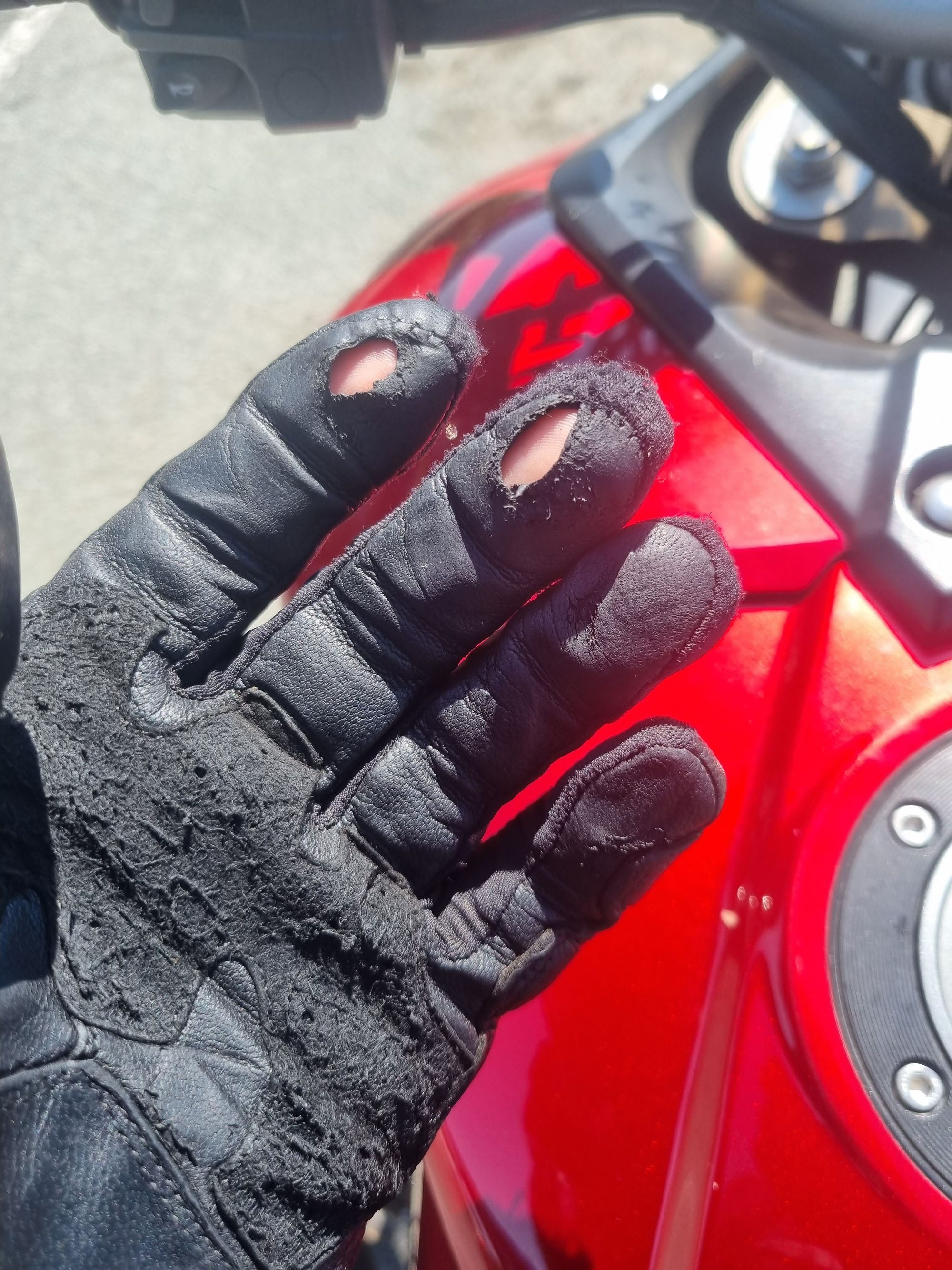
Walgetta has the most mozzies I've seen in my life. Probably something to do with the nearby billabong. I think my motel last night used the billabong water for the shower, so I feel really slimy.
Despite my body really feeling the last couple of days, I opt against a warm shower. So I pack up and am off early, heading home to Brisba... oh right... I don't have a home in Brisbane. Guess I'll head to Beaudesert.
Breakfast will be in Moree, two hours down the Gywdir Highway.
Today is the first day since Exmouth I haven't had to wear some insulation, its 8 am and already 24°C, perfect riding weather. It's supposed to hit 33°C here today, but I want to be long gone.
The road is definitely not perfect. There's no somehow potholes, but it has the consistency of a lake in 40 knots. By the time I get to Moree, I'm feeling every one of my aches.
Coffee makes everything better though. Moree feels like every other NSW regional town (perhaps it's good I'm about home given how blasé I've gotten).
I turn left off the Gywdir highway and make a run for the border at Goondiwindi. I don't like the Newell Highway though, I see more highway patrol in 10 km than I've seen the entire trip (4, yep 4, police presence is pretty sad these days), so I opt for a detour.
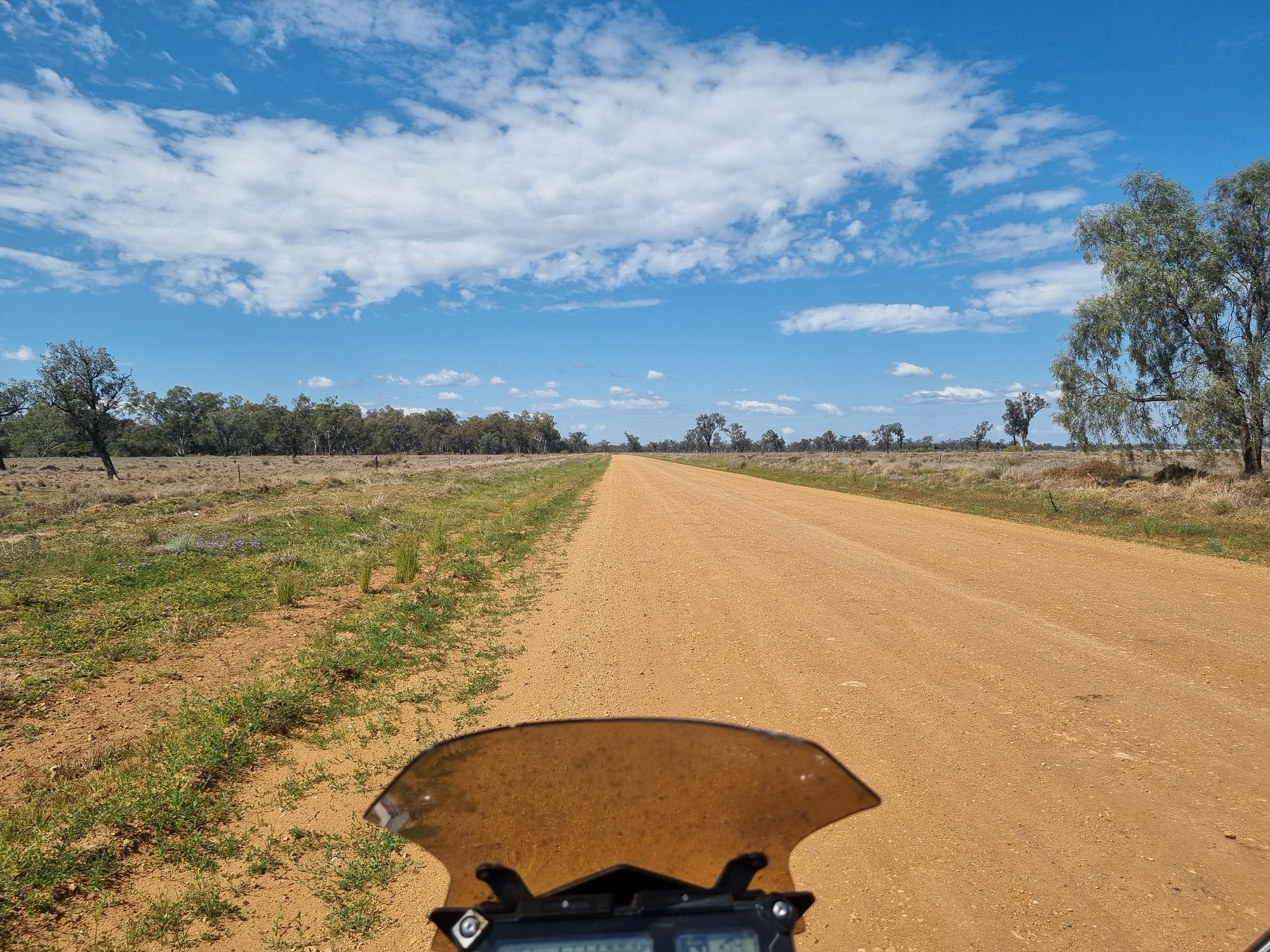
I don't remember this route being unsealed... oh well its only thirty kilometres. Stand up some more and off I go.
Twenty kilometres in and I can see the problem. The sealed road is the other side of the road, Google has cleverly avoided it though because its currently an unsealed civil construction.
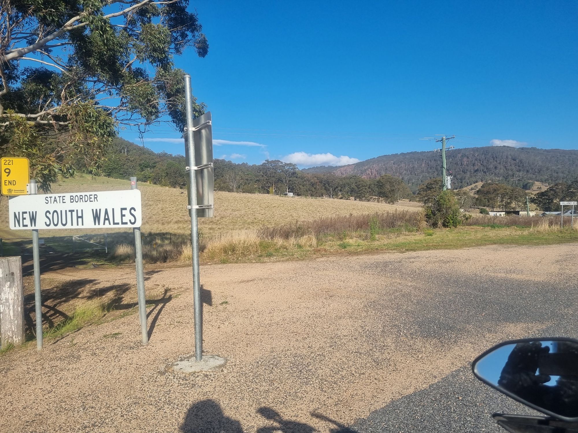
The river in question is the Dunaresq, the river that forms the NSW-QLD border for this section. The road veers left and I cross the river into Queensland.
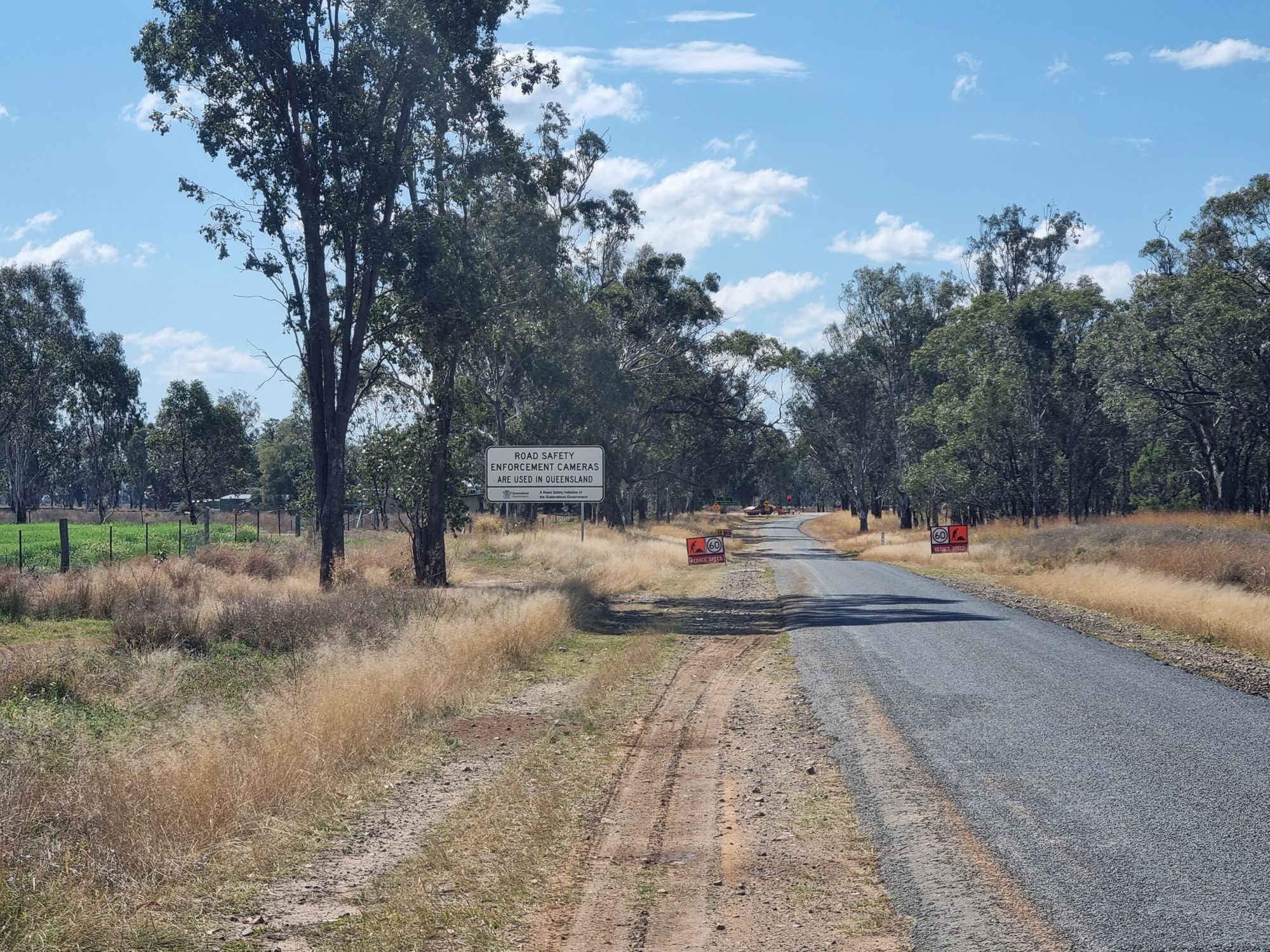
Not quite the glorious signposting I expected. At least the welcoming committee came out to represent!
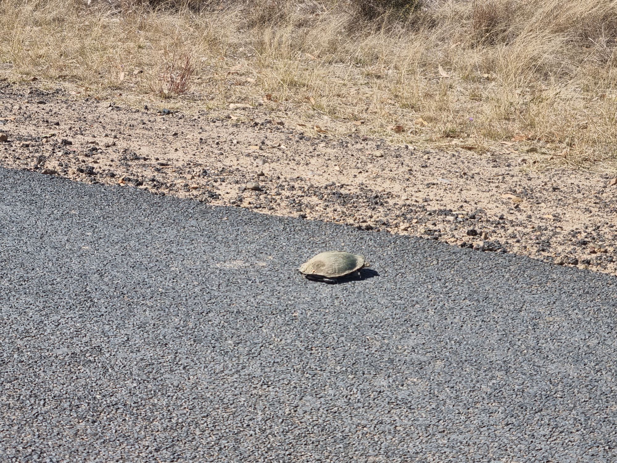
I sat at those roadworks for nearly twenty minutes. I was tempted to go back and play with the turtle. Instead, I come up with a solution to the sign problem, you'll see soon enough.
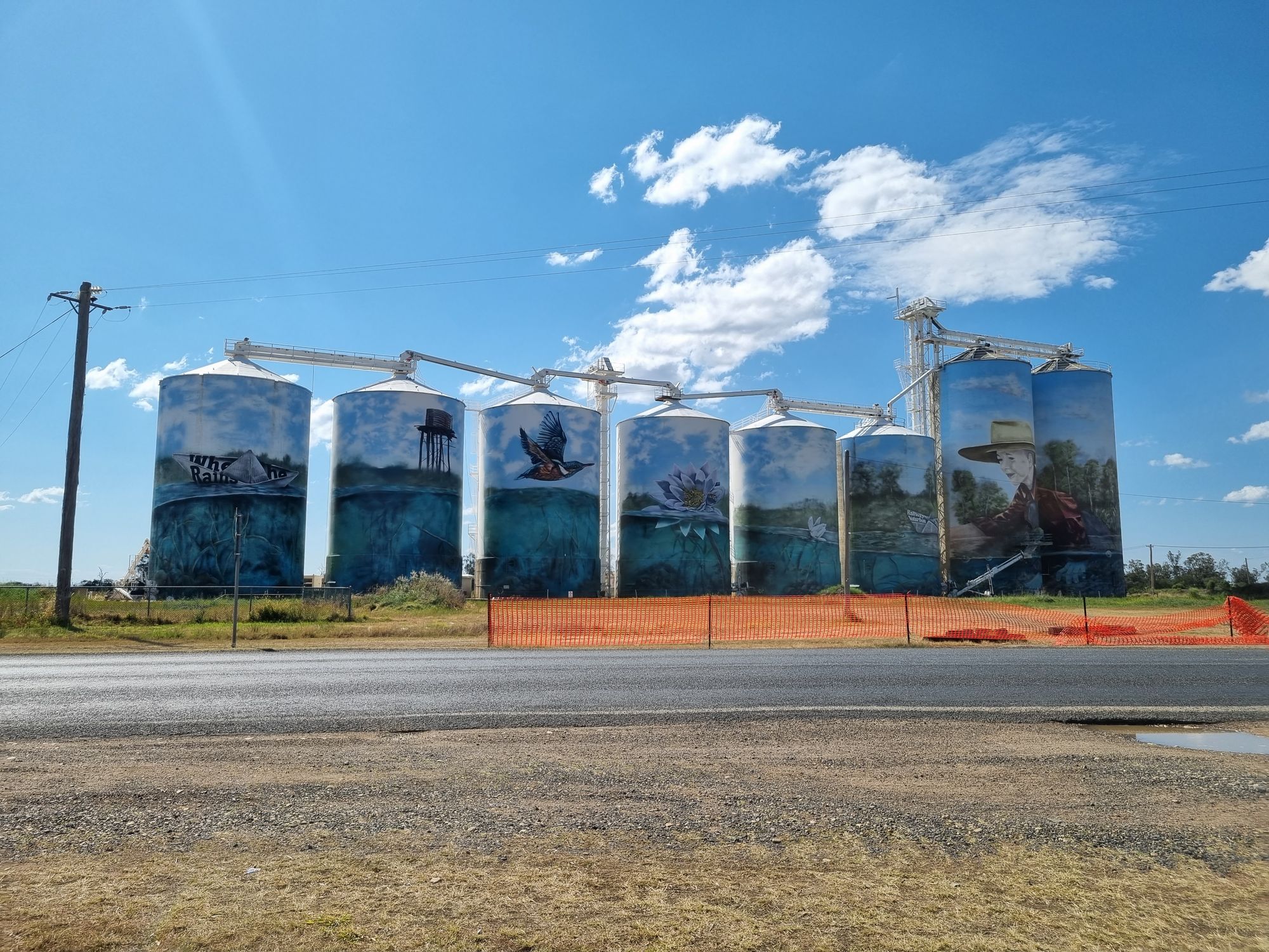
Finally being let through, I stumble upon the tiny town of Yellarbon. Known as the "Yellarbon Desert", the area is unique for having such poor alkaline soil, that it's one of few places in QLD that spinifex grows. Yeah... I've had enough spinifex for a lifetime. Cool grain silo though, I like this new trend.
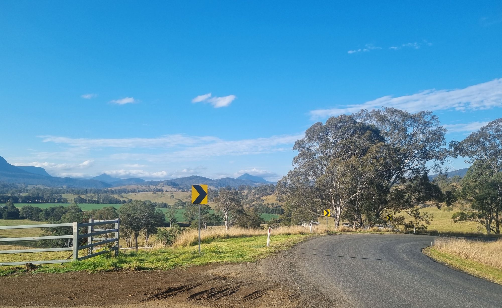
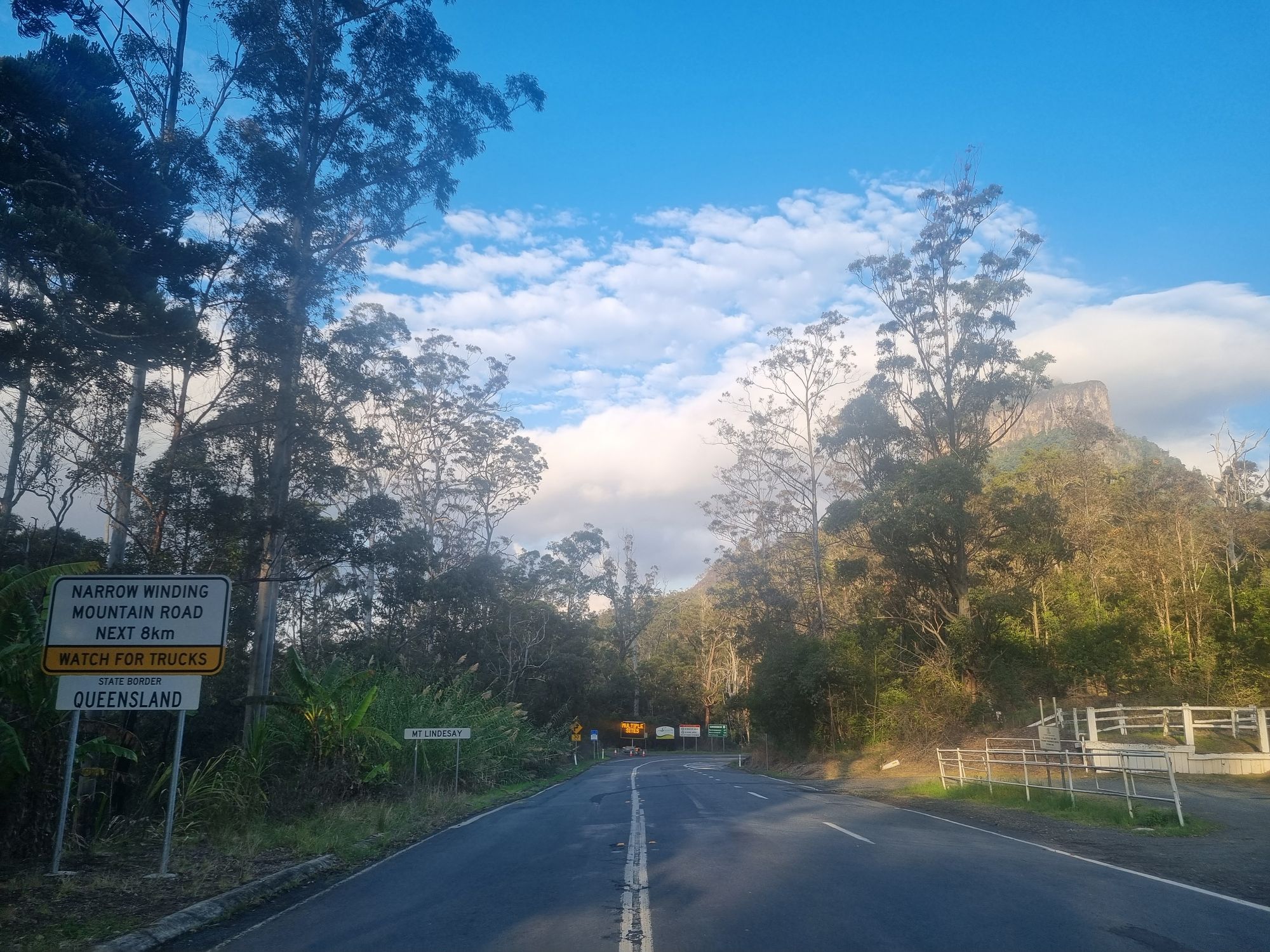
Through to Inglewood, on to Warwick. I'm in my backyard now, the familiar mountains of the scenic rim come into view.
My cunning plan in action, I turn right out of Warwick and head for Killarney. I have it on good authority the road surfacing upgrade for the Mt Lindsay Road is complete.
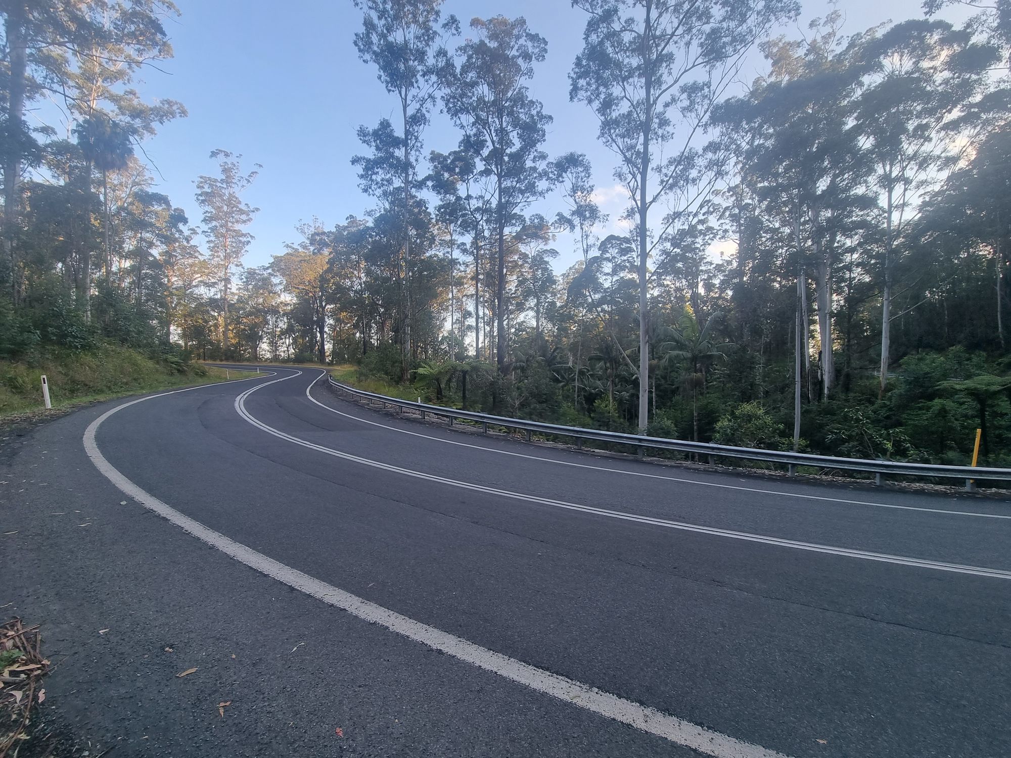
I head into NSW and turn left to follow the border some more. My information was good, the roadworks signs are still up, but the road is 44 kilometres of sweet, sticky, winding asphalt. The view is amazing too.

I have absolutely no idea why they spent so much money on this road, it doesn't save any time as a trucking route. Given my aggressive riding is on par with the Google estimate, I'd guess mostly motorcyclists.
Through Woodenbong (yep, real place, honest), the road leads into National Park and turns into the Mt Lindsay Highway. I leave scenic farmlands for dense rainforest with towering gums.
And before long, I'm back!
Spinifex desert, green rolling hills, diverse rainforest, mighty rivers, white sand beaches and great driving roads. I'm not sure why I left South East Queensland.